
The Old Croton Aqueduct
- Kerri-Ann Seredinsky

- Apr 11, 2018
- 2 min read
Updated: Jul 23, 2019
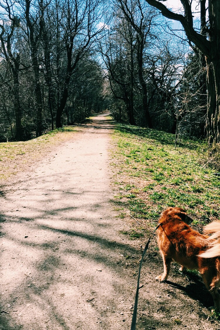
I didn't have to travel far as a child to begin my exploration of the Hudson Valley. In fact I only had to walk a few feet from my front door before I stepped foot ton The Old Croton Aqueduct Trail. My family and I would walk our dog, Reggie, from Hastings-on-Hudson all the way down to the middle of Yonkers. At the time I wasn’t aware of just how much history we were walking on, but after having time to reflect, it makes the location even more special to me.
If you’re looking for a trail to walk in Westchester County that is less challenging but filled with the same amount of history, be sure to visit this landmark.
Here are some fast facts on the trail:
Length: 22.8 miles
Trail End Points: Yonkers Ave and Midland Ave (Yonkers) to
Croton Dam Road (Cortlandt)
Trail Surface: Asphalt, Concrete & Dirt
Here’s a link to an Interactive Map of the trail as well.
The History: During the 1830’s New York City was in desperate need of water. A plan was proposed to build a dam and aqueduct in an effort to bring water from the Croton River all the way to NYC. In just 5 years the aqueduct was built successfully, however, by the 1880’s the underground aqueduct was struggling to meet the water needs of the growing city.
As a new aqueduct was being built, the Old Croton Aqueduct continued to supply all the water that it could up until 1965. A few years later it was declared a historic preservation site and has since been used as a trail for people to enjoy.
Here are a couple must see locations along the trail that New York State highly recommends visiting.


Comments